WEATHER & HAZARD APIs

Accurate and Dependable
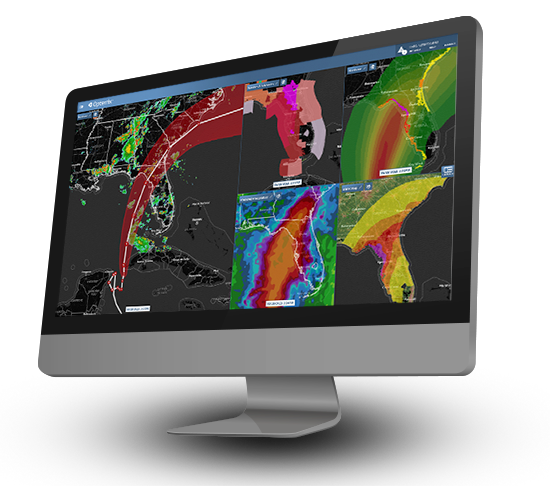
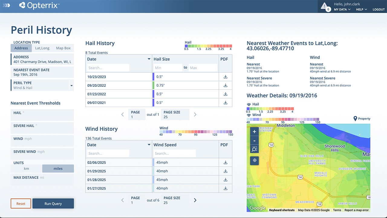
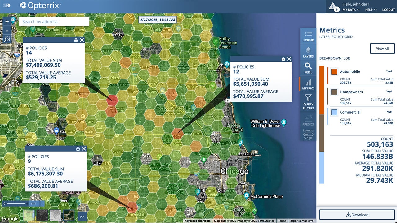
Weather, Hazard, Capacity, Risk Scoring Data

Inform and automate key decision-making throughout the insurance value chain. 

 
Hurricane Idalia - Opterrix Dashboard

Real-time & Historical Weather

Quickly gain access to real-time and historical perils such as wind, hail, precipitation, wildfire, and convective storms through high-performance APIs.

Opterrix historical hail data from North Central hail storms, May 9, 2022.

Opterrix hail data from North Central hail storms, May 9, 2022.

Property Assessment Tool showing a location's weather history, moratorium status, risk factors, FEMA flood zone, and landscape attributes.

Property Assessment Tool combines weather history, risk factors, landscape, and property attributes.

Property-level
Climate Risk Factors

Identify property variables, such as Landscape attributes, Peril & Hazard Risk scores, FEMA flood zones, and more.

Accumulation
& Capacity Analysis

Optimize spatial accumulation, aggregation, and capacity limits at policy application and renewal.

Portfolio Total Insured Value aggregated into 5km hex grids.

Interactive accumulation analysis easily quantifies entire portfolios in real-time. 

Wildfire Moratorium from Pipeline Fire - June 12, 2022

Real-time moratorium verifications for wildfire, flood, earthquake, and hurricane. 

Moratorium Verification

Proactively prevent the binding of at-risk policies and monitor natural peril events (wildfire, hail, wind, earthquake, flood). 

DATA SECURITY AND PERFORMANCE

The Opterrix data platform is SOC 2 Type II compliant, ensuring all customers that their valuable data is always safe and protected.

FAST AND RELIABLE DATA ACCESS

Insurance carriers can count on the Opterrix weather and hazard APIs for fast and accurate weather and hazard data, where and when they need it.

     Fast On-Demand Access

   Property-Level Resolution

  99.999% Uptime

   Easy Implementation