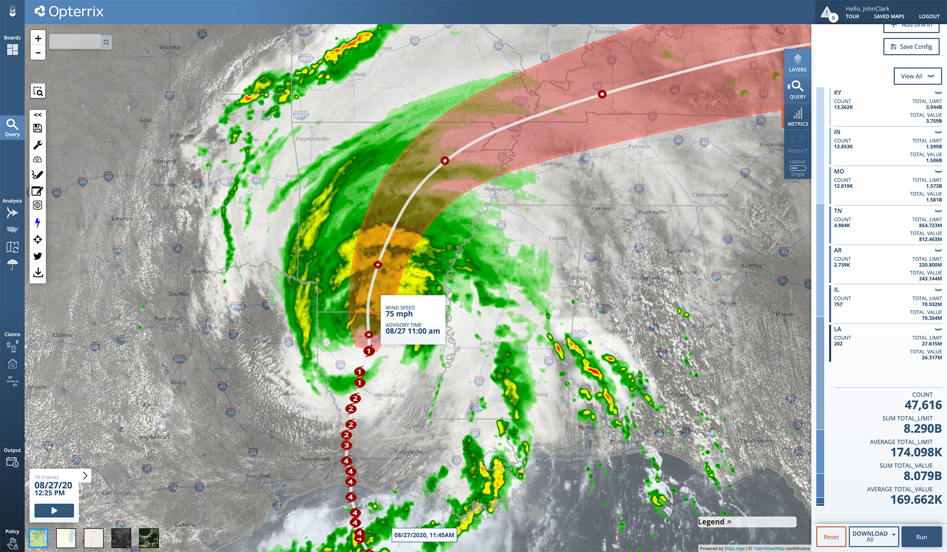
Flooding rainfall and strong winds are accompanying Tropical Storm Laura as the storm makes its way north.
Laura made landfall early Thursday morning as one of the strongest storms to hit Louisiana. It is now located 70 miles east-northeast of Shreveport, Louisiana, moving north at 15 MPH. Max sustained winds have decreased to 65 MPH. Tropical-storm-force winds extend up to 105 miles from the center.
The National Hurricane Center expects Laura to continue north through Thursday afternoon. A northeastward track is expected Thursday night and Friday.
Widespread urban and flash flooding is expected in Arkansas Thursday evening, the mid-Mississippi Valley on Friday, and the mid-Atlantic states on Saturday.